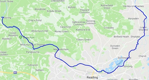
Today would be a mixture along the Path, some nice wide towpaths and then plenty of narrow paths. Also, as the days go on, the more rural the walk feels and the people friendlier. Today would be another dry and hot day but more shade was on offer today.
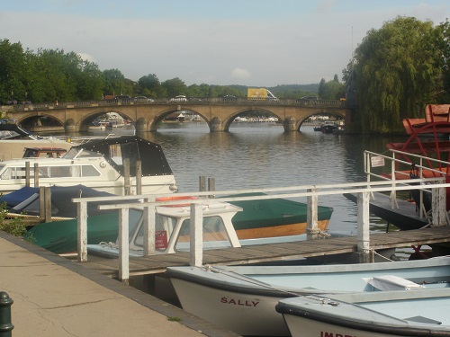
A problem about saving money and not staying in the expensive tourist locations along the route like Windsor and Henley is that I need to travel back there in the morning so it sometimes means a later than normal start so by the time I returned to Henley, the tourists were out in their droves. I don’t blame them though as Henley is lovely. I walked back down to the river from the station and set off.
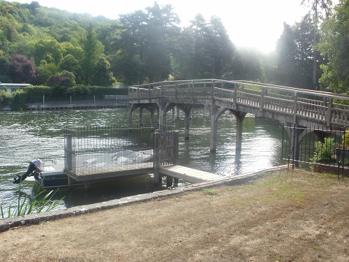
I kept turning round as I walked beside all the moored boats towards the lovely bridge but soon it would be out of my view. The path was obviously busy and it crossed a couple of bridges and soon the crowds vanished and the path narrowed and I was now out in the countryside and hardly saw anyone for ages and the only sounds I heard were birds and the motors on the passing boats, this was nice.
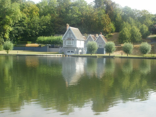
Soon the path left the river and through a narrow passage beside someone’s drive, a rather large one with their own railway track in it and plenty other expensive houses near Shiplake. Soon I was walking through the quiet village and back to the river for the shortish walk to Sonning where I stopped for a break. It was quite busy here, many people were at the nearby Lock.
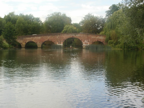
It was a wide path after here, eventually heading through nice parks and open grass to the outskirts of Reading. I passed a supermarket that had its own place to moor boats. Sadly, Reading does not match the scenic beauty of places like Henley and suffers from a lot of graffiti and many of the boats looked abandoned or had seen better days. The good thing about Reading though was that it gave me a chance to grab some lunch.
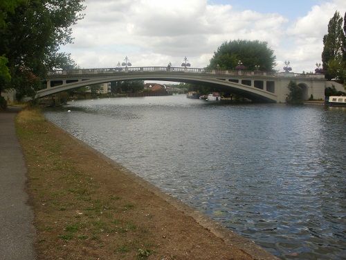
Soon I was on my way again and quickly walking to get through Reading asap and avoiding the thousands of geese being fed by the locals. I passed a park, a couple of blokes passed out by the side and then beside where the Reading music festival takes place as it was all sealed off to the side of me. Luckily there were some nice houses over the river to interest me, I found myself guessing their value.
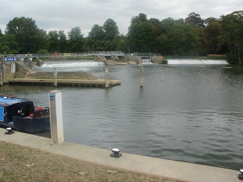
The path curved round the festival venue so metal barriers would be on my left for ages but at least I had the river to look at. Sadly though the path then got narrow and enclosed and overgrown in places, passing people meant possibly nettles. After an eternity the path turned left and steeply up some steps to cross the railway lines and into Purley where the path just got higher as I walked through a housing estate before a steep descent back over the railway line again and back to the river at Mapledurham Lock where I had a well deserved rest and watched boats pass through it.
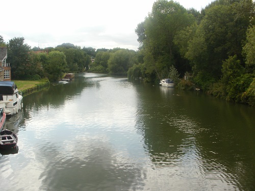
A nice long section of grassy walking followed, much to my relief even though it gave me no shade from the sun but it was good fast walking. Eventually I came to the Adventure Dolphin Centre near Pangbourne which houses an activity charity and onto a pavement. This took me over a toll bridge and into Whitchurch, the waymarker pointed me down what looked like someone’s drive until I saw another waymarker in it and followed it, it took me out to the road I had just left at the toll booth, a long road for a shortcut.
From here I started climbing steeply up the pavement away from the river, I started to wonder if i had taken the wrong way or missed a turn off but nope, I was on the right path as when I got to the end of the road I saw a waymarker. I was quite high up now, probably the highest on the Path so far and felt strange climbing a hill after nearly five days of flat walking.
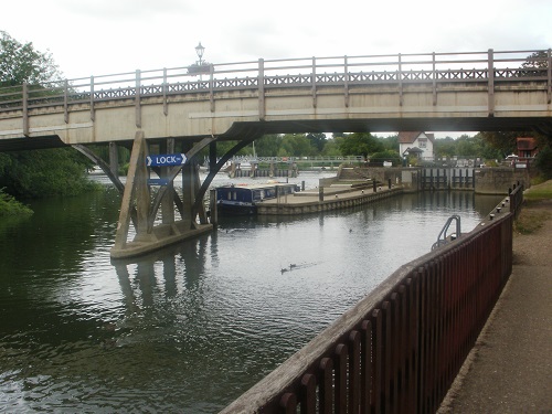
Not long after, I cut off and onto a woodland path with very little views of the river below but it made a nice change. My legs however were getting tired knowing I was near the end of another long day and didn’t like going down the hill either but I would be at the river again soon after a nice walk through a grassy meadow.
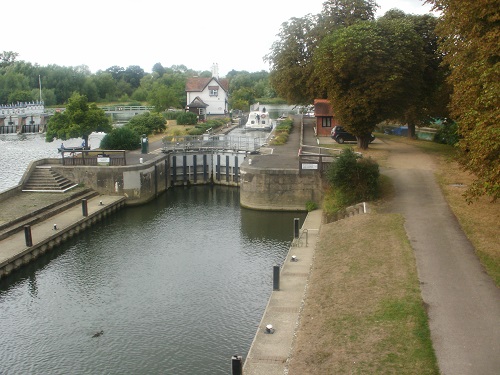
I probably had a mile to go, this always feels the longest mile of the day. I found myself keeping looking for the bridge at Goring as this would be near the end but I didn’t see it for ages. I walked beside the many moored boats and up to the bridge. I was now in Goring but the Youth Hostel was not far away in Streatley which sits on the other side of the bridge and where the path goes anyway.
One more day ticked off and each day feels a bit more rural than the day before. Tomorrow I shall walk from the Streatley Youth Hostel and finish in Abingdon before getting a bus into Oxford where I will spend three nights, I’m hoping for another dry day and good scenery yet again.
