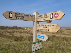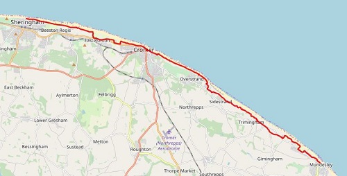
Today would be a shorter day in length and it would be more what I’d call a coast path compared to the previous two days. I’d have a variation in paths, starting off on loose shingle, a bit of tarmac and a lovely cliff top walk before reaching the end of the walk in Mundesley. My legs still felt a bit heavy after yesterdays shingle walking.
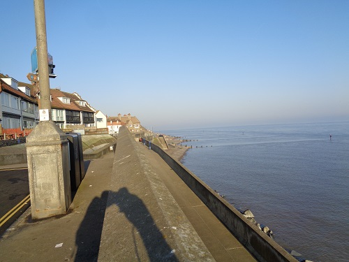
It was yet another hot morning as I left my hotel and headed back down to the point where I left the trail the day before, it was early which meant the streets were quiet and no tourists were blocking pavements. I was soon heading towards Cromer with the hazy morning sunshine ahead of me. I was soon onto the beach which was mainly shingle but not as deep as yesterday or very long and there was also a stretch of wooden boardwalk and harder sand in places.
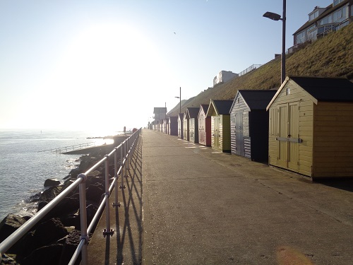
The signs had pointed me onto the beach but maybe I missed one as I thought I should have been walking above the cliffs, I decided to walk along the shingle anyway and see if later on a path went up the cliffs. After a while a set of steps went steeply up the cliffs into a caravan site so I took it. At the top were National Trail markers so I knew I was now back on the path. I turned left and walked along the edge of the caravan site and then continued ahead when the site stopped until I was entering East Runton.
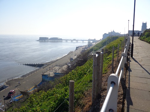
Another couple of caravan parks were entered before I was onto a grassy area where I could see Cromer Pier not far away. After the grass I was soon on a pavement above the main promenade in Cromer, the tide was in and not many people about just yet. I headed down and was soon level with the Pier. Until recently the Pier had been the finish of the NCP but now it had been expanded to Hopton. I was tempted to just finish here like people would have done in previous years but after a short break, I continued.
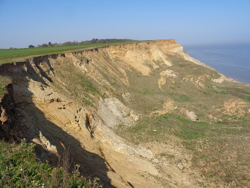
Once I got through Cromer I was rewarded with a long section of cliff top walking, the views were lovely. Some of the cliff top path had long since eroded and collapsed below, I decided to keep a safe distance from the edge but the views down were fantastic.
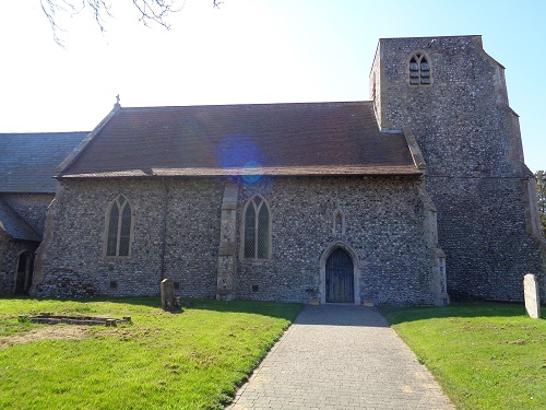
I passed through the small villages of Overstrand and Sidestrand before reaching Trimingham and a bit of a road then a bit of woodland path and past the giant golf ball radar station. After here I caught sight of Mundesley, the end was in sight.
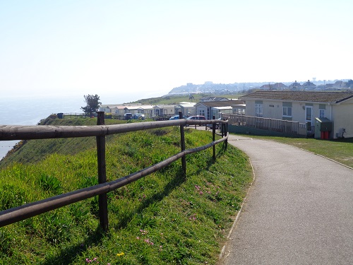
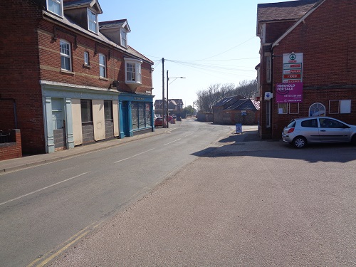
From here another couple of caravan sites followed before I passed the sign to Mundesley and then down a rough road just off the main road. A church car park was next, it was really full, perhaps because it was Easter Sunday but also there were signs about a car boot sale that day. From here it was just a matter of minutes before I reached my finish point.
Today had passed really quickly and had been a nicer walking day with plenty to look at, nice cliff top paths and a much shorter day. I could have done a few miles more but today it felt like a half day, one that hopefully my legs will thank me for on the last two days.
