A fast walking 29 miles on good tracks
Today was going to be a very long day so after breakfast I quickly left and headed up the steep hill to the main bit of the village and grabbed some food for the day ahead. The weather today looked much brighter than yesterday with some blue sky around and no rain forecast, I hoped the forecast for once would be correct. After the steep climb to the village, more uphill was to come as the path wound it's way out of the village and onto moorland on a nice track. After a while the track levelled out a bit before reaching a quiet road which I kept on for a little while before cutting off and following a path through more moorland, admiring the views down into the valleys below as the sun shone on them.
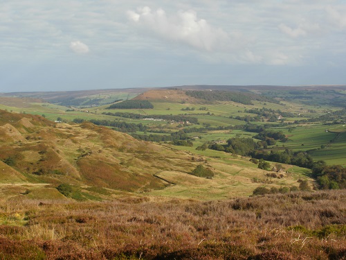
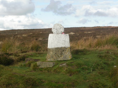
The path was quite level and also dry underfoot which meant fast walking and pretty soon I reached another road, which would then lead to the busy road running past the Lion Inn, passing "Fat Betty" along the way.
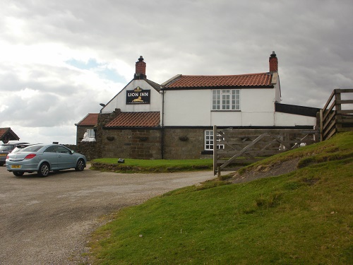
A bit of a slog along this busy road brought me to the Lion Inn at Blakey Ridge just after 11:30 and after eight miles I thought it was time for a break and a drink (like I needed an excuse to stop for a drink, yeah right). I could have stayed longer but I still had about 20 miles to go and the possibility of finishing in the dark, which I didn't really fancy, so suitable refreshed I got on my way again.
I left the pub and walked down a short hill to join the old disused railway track which gently winds its way through the moors for miles, climbing gently uphill meaning fast walking but I also found it a bit boring as there wasn't much views to be seen, just disused railway track. I passed quite a few people on this stretch and could see a few with Coast to Coast guide books.
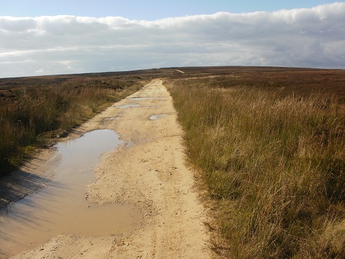
Eventually I got to Blowell Crossing where I left the track and joined The Cleveland Way for the rest of the day, starting off with some gently descending track. At least now the views were better, Roseberry Topping came into sight as did the wind turbines and many towns and cities in the distance. Ahead of me I eventually saw the picturesque roller coaster hills between Clay Bank and Carlton Bank as I walked along the narrowing path, passing even more walkers.
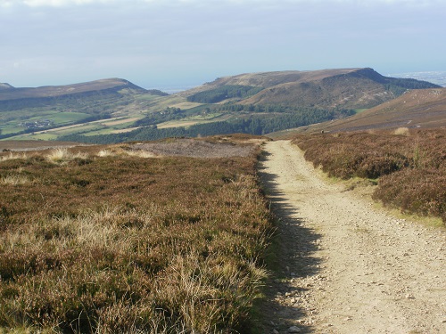
A steep descent down to Clay Bank before crossing the road and the up's and down's of the hills between there and Carlton Bank, passing the Wainstones sapped my already tired legs so I was relieved to descend the final hill to Carlton Bank as the cafe was still open. I was disappointed however to find the shop had no hot food but luckily I still had some left from my dinner so I had a break on a bench and rested my tired feet and legs. I still had about eight miles to go which normally is easy enough but not when you've already done twenty and still plenty of up's and down's to go as the sun got lower and lower. My hope of reaching Osmotherley in daylight was touch and go.
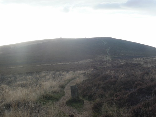
I had walked without a jersey all day and even though I walked up the steep hill after Carlton Bank in shadow as the sun was behind it, it was still warm enough to feel comfy without a jersey or jacket. The climb was quite sapping though and I was relieved to get to the top and the trig point and look about, any excuse for a rest. It would be a long descent next so it gave my legs a chance to recover in the dwindling light, even darker when I reached some woodland before descending to some houses.
A short bit of road walk followed then up a field into the woodland, the path gentle at first before a steep section with steps that I was not looking forward to, it was a case of head down and go for it. I was glad to get to the top and back onto level path and then this came to a road. At this point you have two options, either turn left and follow the road to Osmotherley for a 2 mile walk or straight on and over some moorland, forest and farmland to Osmotherley but this is further and at least the road option gave me the chance to finish in a bit of daylight.
After 27 miles or so, the last couple of miles along the road seemed to last forever, eventually passing Cod Beck reservoir and seeing the lights from the campsite beside the Youth Hostel. It was now almost dark as I left the road and down the drive to the Hostel. I knew the Hostel would be busy so I was expecting to find myself in a top bunk in a busy dorm so I was delighted to be told that a large bus load of people would be in the dorms and I would be in one of the apartments away from the busy main building. I would be in my own room with my own bathroom, kitchen and lounge. This was fantastic to hear as it made things a lot easier and gave me more space and peace and quiet to let my tired body recover.
Although I had walked 29 miles, a lot of it was flat and fast walking so it didn't feel so bad and the warm weather and much better views than yesterday made today a whole lot nicer. It was a long day but I knew tomorrow's 12 mile walk would be like an easy half day so plenty recovery time. As I enjoyed the silence of my own room I nodded off quite content with the days walking.
