After my walk from Glenridding the previous day, I headed to Coniston youth hostel to camp for 2 nights. The weather forecast for the next day wasn't too promising but still better than it had given a few days before. My intention was to climb Wetherlam, a hill that on a previous forum meet we had missed out on due to the rain and cloud.
As usual, the weather forecast was way off and instead of waking up in my tent in the Hostel grounds to hear pouring rain hitting off it, there was silence. I had thought about setting off about dinner time as this was supposed to be when the weather would improve but seeing as it was dry and looking quite promising, I set off just before 10am. I decided to do it as a circular walk rather than just walk up past Levers Water to the summit and return the same way.
I left the Hostel grounds and headed for the main road where I joined a cycle path that leads to Ambleside, meaning you don't have to walk on that road, which like the others in the Lakes, are very dangerous to walk or cycle on. I turned off after about a mile and a half at the turning to Low Tilberthwaite and walked up a tarmac road which gave you good views to either side and it was reassuring to see some blue sky around.

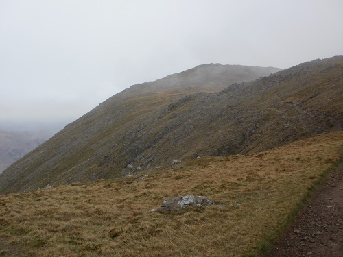
Once I reached the car park, which was quite busy, I ended up walking along a nice path, not too steep but with very nice views ahead of Wetherlam Edge and the main summit. My route would take me along this easy to follow path to the ridge, then turn left and climb to the summit but when I got to the ridge, the path seemed to just vanish. From here, it was basically just a case of just heading up, quite steeply at times, on the grass, and bypassing the rocks but the grass was dry thankfully.
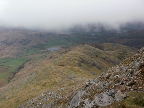
You have to keep turning round to take in the views but sadly I hadn't done much walking around here so I had no idea what hills or lakes I was looking at in the distance.
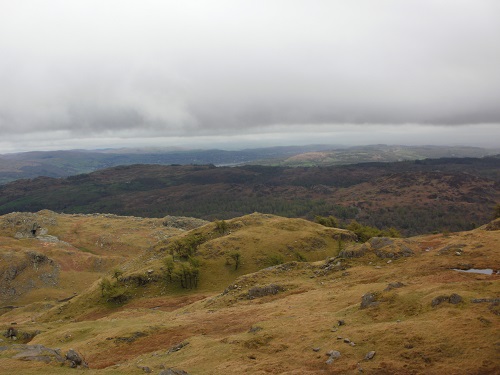
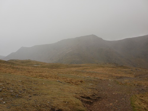
The ridge seemed to go on for ages and by now there was cloud at the top of it but my GPS was telling me that I was near the top. The temperature was dropping as I got to the summit so I didn't hang about as there was nothing to see as it had suddenly got cloudy and I had done what I had set out to do, climb Wetherlam.
My way down was to continue straight ahead then turn left and head down to Levers Water and down the miners track to Coniston, which was the path I had done before or at least I thought that's what path I had plotted. As I descended Wetherlam there was a flurry of snow, it soon disappeared as I headed down towards the reservoir.

At the end of the reservoir I headed down a path that was on my GPS but this wasn't the miners path that I had taken before but it was still going to Coniston, past the other Youth Hostel and I believe Coppermines Valley?


It wasn't long before I was back in Coniston. I had enjoyed the walk and wished I had taken in more of the hills as the weather got even better as the day went on but I had climbed Wetherlam, and that was the aim.
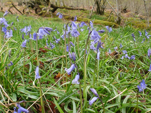
Some more pics..