Todays walk would be a nice one, lovely scenery, windy but dry and nearly all grassy paths with nothing really steep. The only minus point would be the last 4 miles on a narrow country lane. In hindsight I should have got the boat to Pooley Bridge, done the walk as planned but when I came down after Hallin Fell, I should have then got the boat back from Howtown rather than the boring 4 mile road walk.
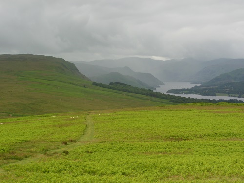
Anyway, the weather forecast for today was for occasional rain and when I left the car at 9am there was light rain but this soon went off and the rest of the day brought just one more light shower. The wind however was strong and also quite cold, certainly not tshirt and shorts today.
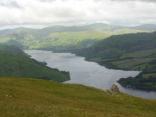
It was a reasonably gentle climb on a wide grassy path through the ferns all the way to Heughscar Hill (not a Wainwright) to warm the legs up after the previous days walks near Mungrisdale ( See the Mungrisdale Walk HERE and See the Mosedale walk HERE ) and then the next hill (Arthurs Pike) could be seen not to far in the distance, a path up the slope visible. Walking gently towards it, the sun was shining on some of the surrounding hills including Catstycam and Helvelyn, a lovely sight indeed.
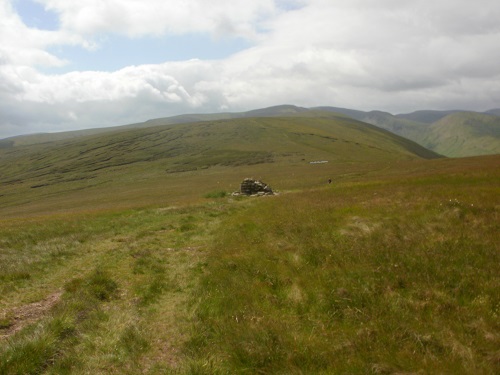
A little dip, then cross a little stream soon saw me heading upwards towards the summit, the wind getting stronger as I got higher. Arthurs Pike was reached after a short but not too steep path up the grassy flank of the hill. I took a small detour to the right of the summit to look down on Ullswater and the hills above it. I could have sat here a while but it was a bit windy and cold and a walk along the ridge to Bonscale Fell didn't take a lot of time.
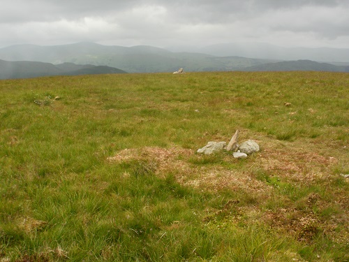
From Bonscale Fell, I looked to the left and saw a group of backpackers heading towards Loadpot Hill, my next summit. They were heading straight towards the summit but I took the long way to approach it from a different angle so when I got there, the group were huddled round the Trig point looking very fed up. I left them to consult their maps and head the short distance to Wether Hill, passing a small shelter on the way. Sadly the shelter was facing the wrong way which would have meant the wind into my face so I pressed on, planning to have my lunch later and hopefully finding some shelter on the descent.
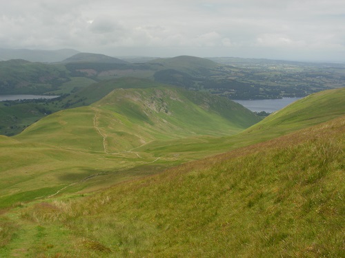
Wether Hill took no time at all, my next hill would be Steel Knotts which was quite a distance from Wether Hill but quite a lot lower down. I continued on past Wether Hill until I found the path heading right beside a wall and started the slow but gentle descent, the wind getting less and less the lower I got. It was still a grassy path and as it reached a wall that had seen better days, I saw plenty flat rocks on it so decided it was a good place to stop for lunch, looking down the valley towards Ullswater.
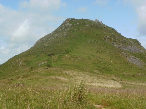
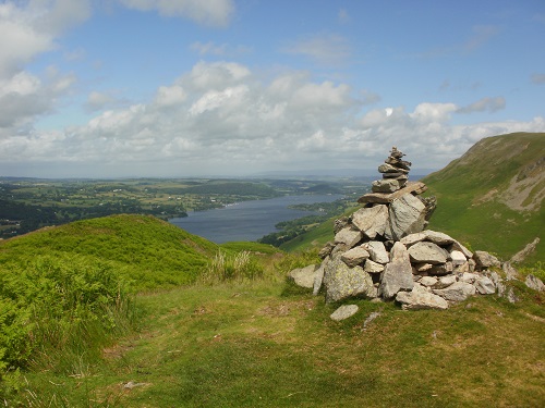
Lunch over, I was still heading downwards and heading towards a hill called Pikeawassa which actually wasn't as bad as it looked but it gave nice views around. From here Steel Knotts was just a short distance and then it was a grassy path through the ferns down to the car park at Martindale. Hallin Fell would be next on the list and the wide grassy path visible on the Steel Knotts descent. The walk up Hallin Fell was short but steep, my legs tired after doing about 12 miles so it felt much worse. Eventually the path headed between some crags and then I looked to the right and the summit cairn was just yards away.
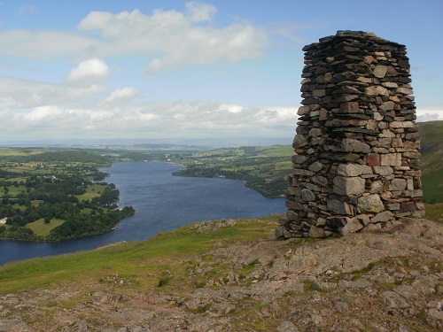
The summit cairn is quite impressive, not your normal disorganised pile of stones but from here, the views over Ullswater both ways were fantastic. Looking right, it looked a long way to Pooley Bridge and I was now regretting leaving the car there and wishing I'd just used the boat instead. A short steep grassy descent followed from the summit down to the Lakeside path and then to the lane that would be my companion for the next 4 miles. The road is surrounded by trees and hedges and hardly any scenery so before long I was bored, occasionally having to step aside to let passing cars by. Eventually I reached Pooley Bridge and the lane that would take me back to where I parked the car.
As walks go, this was quite a simple one on nice grassy paths, nothing steep. The hills in the distance looking lovely when the sun shone on it. I'd do the walk again but use the boat to get to Pooley Bridge from Glenridding and then get it back from Howtown.